Record🤔
cid:
"bafyreibrrmxs277aodbmhzwiai6fi2fkhzy2arlxmdna3dgkuyfftwyhby"
value:
text:
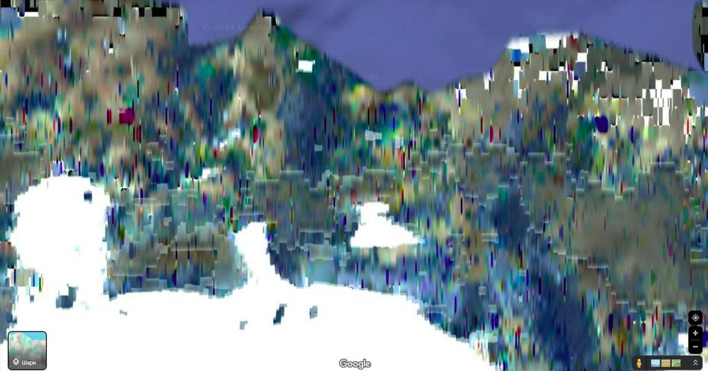
"I never noticed how trippy Google satellite images get once you get far enough North, like the top of Greenland.

I wonder if it's due to lack of satellite images or due to Mercator projection being particularly funky on raster images?"
$type:
"app.bsky.feed.post"
embed:
$type:
"app.bsky.embed.images"
images:
alt:
""
image:
View blob content
$type:
"blob"
mimeType:
"image/jpeg"
size:
278415
aspectRatio:
width:
1804
height:
948
langs:
"en"
createdAt:
"2024-06-03T16:51:09.796Z"